
Ebrel focuses on spatial prioritisation, identifying where and what types of habitat should be created or restored to support viable species populations across a landscape. ReBio, its counterpart, supports the delivery of biodiversity recovery at specific locations—providing detailed, site-based guidance on what actions to take to support nature, tailored to local ecological conditions. Both tools are designed to help decision-makers move from high-level strategy to practical implementation. They combine the best available ecological science and are openly available for use in real-world conservation.
Ebrel is a spatial decision-support tool developed within the framework of systematic conservation planning, designed to guide habitat restoration and creation. It is the only systematic conservation planning tool currently available that specifically focuses on nature recovery.
Ebrel is named after the Cornish word for April, in recognition of the area in which we developed this model, and April being a month of ecological renewal in Cornwall.

Ebrel helps make conservation decisions more effective, transparent, and cost-efficient. It supports planners in identifying where habitat restoration or creation will deliver the greatest benefit for biodiversity, while making the best use of limited resources.
By explicitly incorporating species requirements, landscape structure, and costs, Ebrel improves the likelihood of meeting biodiversity targets. Its use of transparent, data-driven methods makes decisions reproducible and easier to communicate, supporting accountability and stakeholder engagement.
In short, Ebrel helps ensure that nature recovery efforts are targeted, justifiable, and deliver measurable outcomes.
Ebrel uses a sophisticated optimisation algorithm to identify where and what type of habitat to restore or create to meet biodiversity targets as efficiently as possible. It takes into account financial cost, competing land uses, species’ habitat needs and dispersal limits, and how habitat placement affects connectivity and recovery outcomes.
Unlike many existing tools—which focus on protecting existing sites or restoring single historical habitat types—Ebrel considers multiple potential habitat options at each location and evaluates how newly created habitats support species movement through the landscape.
Ebrel is also fully open access and built using transparent, well-documented methods. It was developed by researchers with decades of ecological experience, using up-to-date ecological and computational approaches to make it useful in real-world decision-making.
Ebrel was used to develop the Cornwall and Isles of Scilly Local Nature Recovery Strategy (LNRS)—one of the first examples of its kind in England. An LNRS is a statutory plan that identifies priorities and opportunities for nature recovery at the local level. It aims to support biodiversity, guide environmental funding, and inform land use decisions.
Ebrel helped identify cost-effective and ecologically coherent opportunities for restoring multiple habitat types across the landscape, tailored to the needs of locally important species—focusing on creating larger, higher-quality habitat areas that support more viable populations. The model supported a transparent, evidence-based process, helping to target action where it will have the greatest ecological impact.
ReBio is a site-based decision-support tool designed to guide the delivery of biodiversity recovery actions at specific locations. While Ebrel focuses on prioritising where and what types of habitats to create or restore across a landscape, ReBio works from the ground up—providing detailed, evidence-based advice on what to do at a given point or area to support nature recovery.
ReBio is named for its purpose: REcovery of BIOdiversity. It forms the delivery counterpart to Ebrel, helping land managers and other users move from strategic planning to practical, place-based action.

ReBio helps turn nature recovery plans into meaningful and locally relevant actions. By integrating high-resolution environmental data, species needs, and conservation evidence, it ensures that biodiversity delivery is targeted, realistic, and ecologically sound.
ReBio is designed to support collaborative delivery. It does not prescribe what should be done where – rather it can be used to help inform and guide decisions. It enables more informed conversations and facilitates engagement by grounding decisions in transparent, shared evidence.
Whether users drop a pin on the map or delineate an area, ReBio returns a suite of evidence-informed options—matched to the habitat potential of the site and the requirements of species that could benefit.

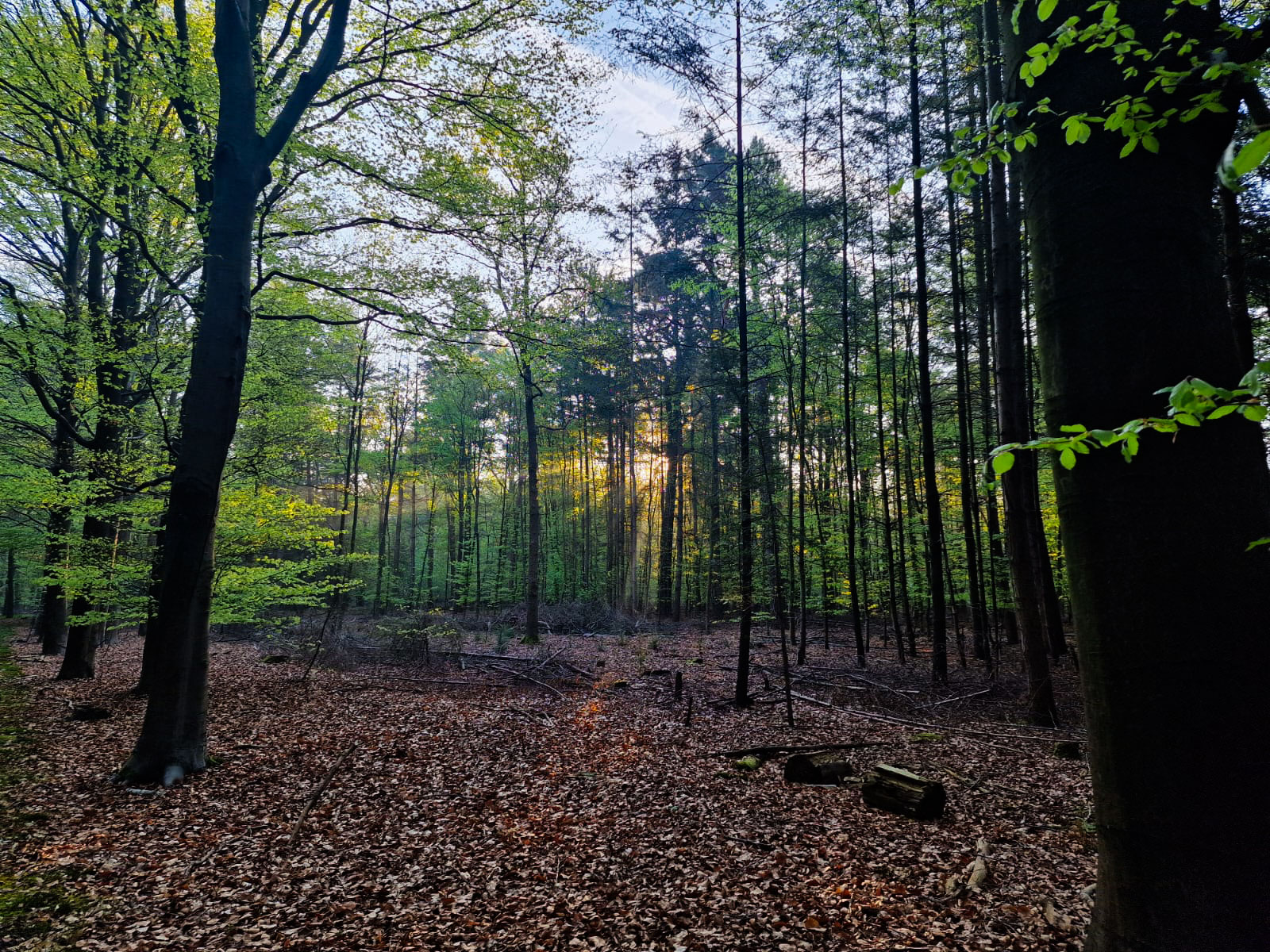
Above: Deciduous woodland by Ilya Maclean.
ReBio works by combining multiple layers of ecological data and evidence to generate tailored, site-specific advice for biodiversity recovery. When a user drops a pin or outlines an area on the map, ReBio draws on high-resolution habitat maps, species distribution data, and a detailed understanding of local environmental conditions to assess what biodiversity outcomes are possible at that location.
It identifies which species are either already present or could be supported if the right habitats were created. These species are then prioritised using a rigorous framework based on their conservation importance. ReBio links each species to a comprehensive database of habitat features they require—alongside a curated library of conservation interventions backed by evidence of effectiveness.
Crucially, the tool doesn’t treat species in isolation. It looks for groups of species that share similar habitat needs and suggests delivery options that benefit multiple high-priority species at once. This ensures that the actions it recommends are not only grounded in ecological data but also efficient, scalable, and practical to deliver.
A key distinction between ReBio and many other tools is its clear focus on biodiversity recovery—not generalised environmental improvement. It’s designed to guide real-world action at specific locations, grounded in what is ecologically possible given the site’s soils and conditions. Unlike advisory platforms that offer broad recommendations, ReBio gives users clear, evidence-based options directly linked to measurable biodiversity outcomes—making it a powerful tool for practitioners, land managers, and policy teams alike.
ReBio sits alongside the Ebrel model as a key tool supporting delivery of the Cornwall and Isles of Scilly Local Nature Recovery Strategy.
Watch the LNRS mapping webinar | Meet the team | Read the report article
Please keep an eye on our upcoming news items for the official launch of the Ebrel and ReBio toolkit.
Partner Forum Webinar
In this Partner Forum webinar, the research team present Ebrel and ReBio and outline the opportunities they provide for planning and delivery of nature recovery. They are joined by colleagues from Cornwall Council, who reflect on using Ebrel to develop the Cornwall and Isles of Scilly Local Nature Recovery Strategy (LNRS). Followed by a Q&A.
Speakers: Ilya Maclean, Marcus Rhodes, David Baker, Philippa Hoskin
Banner Image - Ilya Maclean